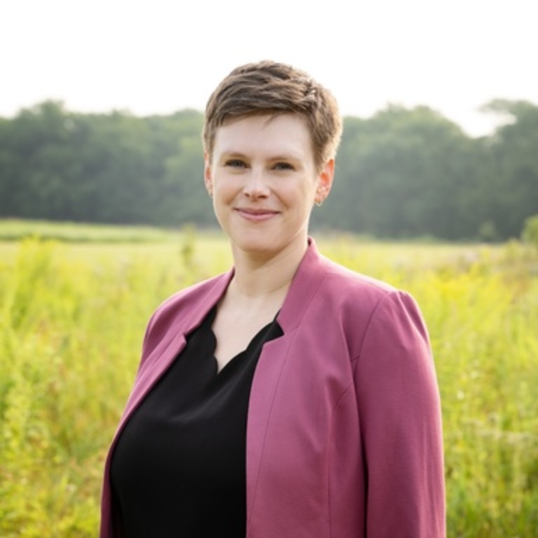
Susan Meerdink
Not currently accepting graduate students for Fall of 2025.
The world’s ecosystems are responding to climate change and facing increasing pressures. Remote sensing generates BIG data that captures and quantifies seasonal and annual changes across the landscape. The ability to capture high temporal, spatial, and spectral resolution imagery has advanced much more rapidly than algorithms for processing, visualizing, and interpreting these images. I believe that pressing ecological questions can be better addressed through a combination of machine learning algorithms, remote sensing data sources, and in situ measurements. I primarily focus on optical and thermal remote sensing, which includes multispectral and hyperspectral sensors.
I teach four core classes for the School of Earth, Environment, and Sustainability. SEES:1035 Our Digital Earth is a general education course that introduces students to introductory geospatial skills through inquiry-based activities, building success in basic geospatial data analysis and critical spatial thinking. Students will use cutting-edge technology to examine sustainability issues such as urban heat islands, glacier retreats, deforestation, and drought. For our major students or those hoping to expand their Geographic Information Science (GIS) skillset, SEES:2050 Foundations of GIS teaches the basics of ArcGIS software and spatial analysis. Leveraging my remote sensing expertise, SEES:3500 Introduction to Environmental Remote Sensing teaches the basics of the electromagnetic spectrum, image preprocessing, and spatial analysis. For those ready to dive deeper into remote sensing, I offer SEES:4500 Advanced Remote Sensing, which dives into more advanced analysis and the physical drivers of remote sensing.
- Climate variability and change
- Ecology and paleontology
- Geographic information science (GIScience), modeling, and remote sensing
